- Print
- DarkLight
- PDF
Site Characteristics Data Entry Table
- Print
- DarkLight
- PDF
By default, the Data Entry section will only show space for entering one parcel; you are able to expand the view by choosing No. of Parcels. 
As the data entry for the Site worksheet is extensive, you may choose to Hide data attributes by double-clicking the Show/Hide dropdown in the left-hand menu. Click the Toggle Display button to show or hide rows.
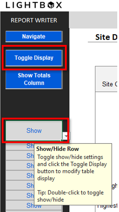
Site Characteristics Data Entry
The following data entry sections allow for quick data entry and calculations.
- Calculated fields are denoted by a light grey fill. Drop down lists are denoted by a taupe fill and a downward arrow, to the right of the cell.
Overall Parcel Data
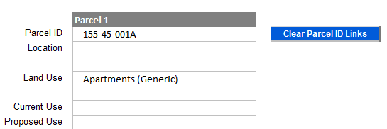
The Parcel IDs are automatically linked from the Tax IDs in the Assessment worksheet. If your preference is to provide separate identification, you can click the Clear Parcel ID Links button.
Location Map Settings

If Latitude and Longitude for the subject was not set in the web interface, you can click the Location Map Settings button to view and copy/paste from the web. However, we strongly suggest creating your subject in web, setting the lat/long in the web form and importing via the File Info worksheet. See the preferred method of setting the lat/long here: Import Subject Data from the web
Site Size Attributes
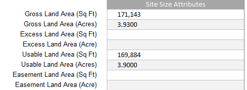
Entering in the value for Land SF will auto-calc the corresponding acreage.
Other Site Attributes
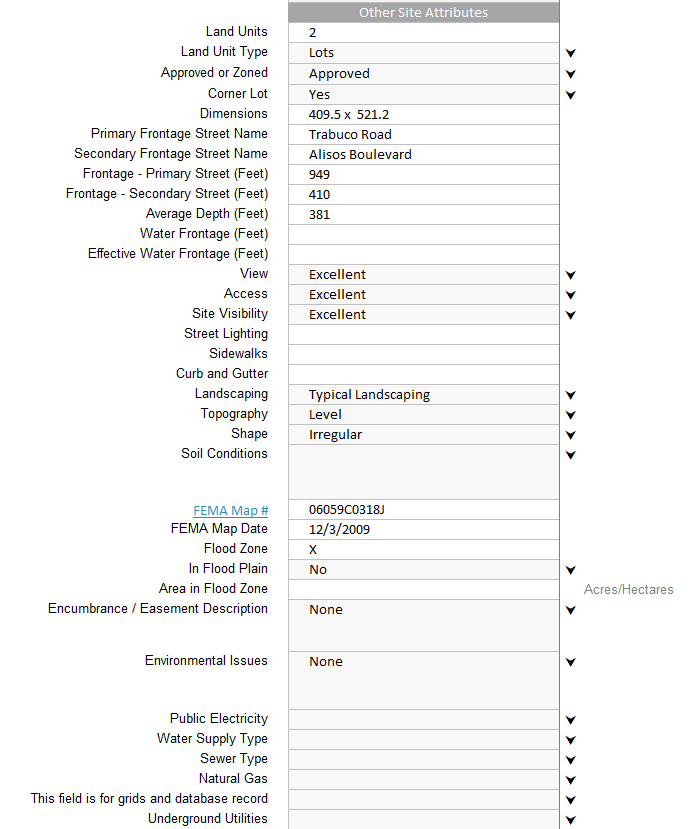
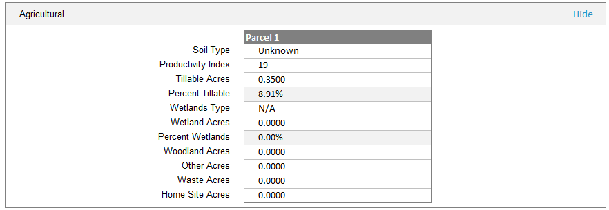
Agricultural Attributes
The Agricultural Section is hidden by default. Click the Show link in the Section header to un-hide.
.png)

.png)