Site
- Print
- DarkLight
- PDF
Site
- Print
- DarkLight
- PDF
Article summary
Did you find this summary helpful?
Thank you for your feedback!
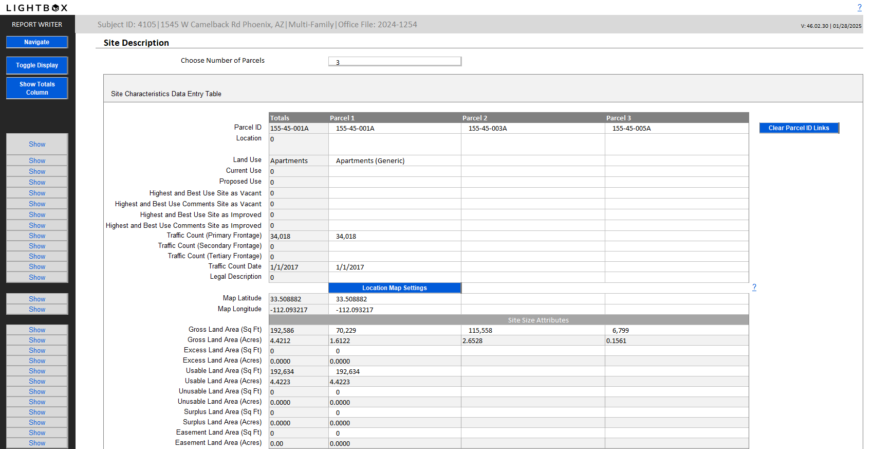
The Site worksheet is comprised of two primary sections: a comprehensive data entry section, where you will enter all of your data, and Summary tables which structure and illustrate the data.

The major sections in the worksheet are broken down into the following pages:
- Site Characteristics Data Entry Table
- Setting Latitude and Longitude for the Subject
- Vertical Site Summary Table
- Land Summary Table
- Site Categorization Table
- Highest and Best Use Table
Note:
The Site worksheet also allows for subject data to be imported into the first parcel column and for the Total amounts to be exported back into the web database.
46.02 templates and above allow for up to 20 parcels to be imported for Acres and Land SF.
Click the Show Database Column button at the bottom of the data entry section to view what will be exported.
For more tips on subject import and export see this helpful article.
46.02 templates and above allow for up to 20 parcels to be imported for Acres and Land SF.
Click the Show Database Column button at the bottom of the data entry section to view what will be exported.
For more tips on subject import and export see this helpful article.
Or watch the instructional video, below:
Was this article helpful?
.png)

.png)