- Print
- DarkLight
- PDF
LightBox Parcel Boundaries
- Print
- DarkLight
- PDF
LightBox Parcel Boundary Data Set
Nationwide parcel boundaries combined with rich property tax attributes.

Overview
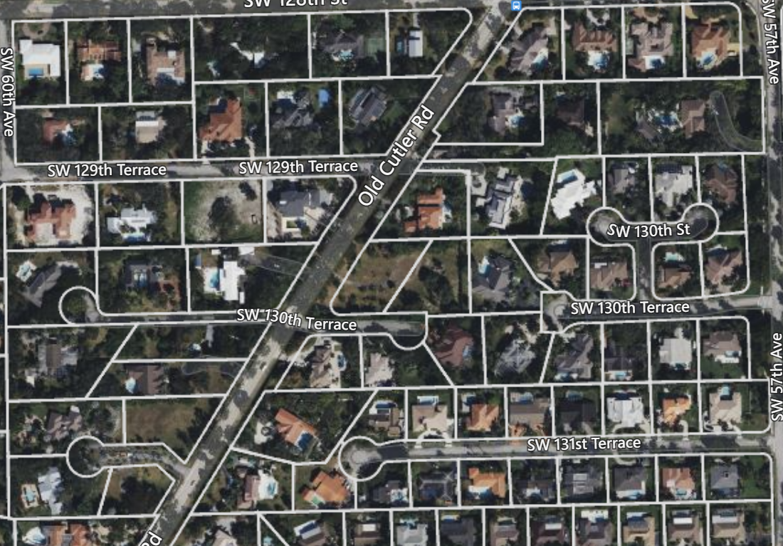
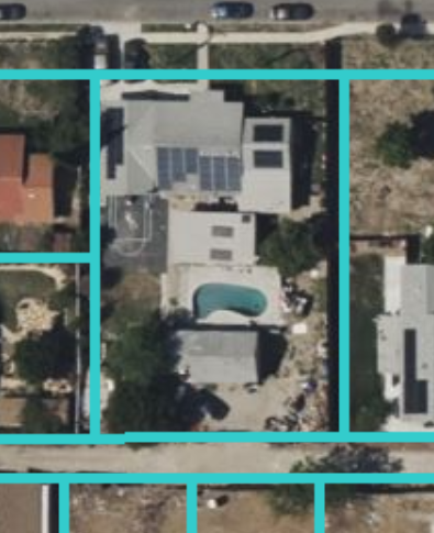
Understanding the location, boundary and size of each property supports many use cases and analytical problems. Combined with rich property and tax attribution, LightBox provides a dataset that fuels your application and analytics. With coverage covering 99% of US properties and territories you can be guaranteed to have a full and rich dataset across the nation.
Determine precise parcel boundary data
Uncover precise parcel boundary location for 99% of the US population.
Understand common ownership
Identify adjacent common ownership along with aggregated acreage used for search and property selection.
Tightly linked via the LightBox ID to Assessments
Parcels are tightly linked to all the data within in SmartFabric products, but one valuable link is to the LightBox Assessment dataset. This allows you to work with the rich property data, ownership information and tax data.
Data Collection
LightBox does the heavy lifting by collecting our parcel data from each county and territory, then cleaning, normalizing, and combining this dataset into a national fabric. We then join the parcel boundary data with property and tax attributes, that is collected from the tax assessor or tax authority, to create a deeply attributed and complete data set.
LightBox creates relationships with each county, and uses automated procedures that pull parcel data as it is updated by the county. Where this is unavailable we collect the data manually. Once collected, the parcel data goes through our ingestion pipeline where it is processed. During this process the data is checked for abnormalities. If those abnormalities are outside of our tolerances then the data goes into a separate workflow to be reviewed by our QA team.
LightBox parcel data is continually added to our database on a weekly basis. This ensures that the data is available as soon as possible to our end users.
SmartFabric™
Parcel boundaries are the main dataset within the SmartFabric product line. Parcel boundaries are linked via the LightBox ID to Assessment, Structures, and Addresses providing a powerful set of relationships to navigate the SmartFabric data graph.
See SmartFabric Relationship Tables and LightBox Identifier for more information.
Used throughout LightBox
Parcel boundaries are also a main component while processing other LightBox data. Parcels allow us to determine neighboring ownership, place addresses on the parcel centroid, creating a site boundary by combining multiple boundaries into a single polygon, just to name a few.
Parcel boundaries are also used within our APIs and SaaS applications.
For example:
- When performing flood determination we use the parcel boundary vs. the centroid point.
- We group environmental concerns to an entire property area vs. a single point location.
- We place business listings at the parcel level to understand who actually does business within a property.
These are just some of the ways we utilize parcel boundaries here at LightBox.
LightBox ID
The LightBox identifier is a persistent and universal identifier for data that creates powerful connections to the LightBox information model. Our Parcel dataset supports this ID and is available through the parcel API and SmartFabric™ data package. Using the LightBox ID one can walk the full property graph.
More Information
- Parcel API
- Common Ownership
- Parcel vs Assessment Relationship
- Parcel to Assessment matching
- Stacked vs. Flat Parcels
.png)

.PNG)

.png)