- Print
- DarkLight
- PDF
Structures Overview
- Print
- DarkLight
- PDF

With the associated address information tied to each building footprint you can geocode and reverse geocode, or link to any other dataset that contains an address – demographics, business list, real property data, and more.
A Base Layer
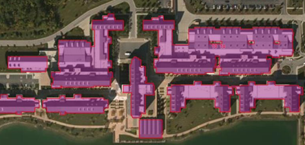
The LightBox Structure boundary data is a critical base layer for the LightBox SmartFabric™ dataset. Where parcel boundaries provide the container for the property, structure boundaries provides precise location awareness of the habitable and the built world.
LightBox ID
The LightBox identifier is a permanent and universal identifier for data that creates powerful connections to LightBox’s information model. Our Structure dataset supports this ID and is available through the structure API and SmartFabric™ data package. Using the LightBox ID one can walk the full property graph.
.png)

.PNG)
.png)